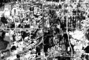
the University of Florida campus and central Gainesville shown with different resolutions, from lowest to highest resolution:

This refers to the level of detail of the image, in two senses:
Radiometric: number of energy levels that can be distinguished. Can be practically infinite in photographs, but limited in digital images
Spatial: smallest object that can be distinguished in the image.
| This is the same
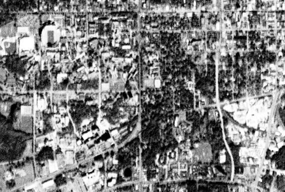
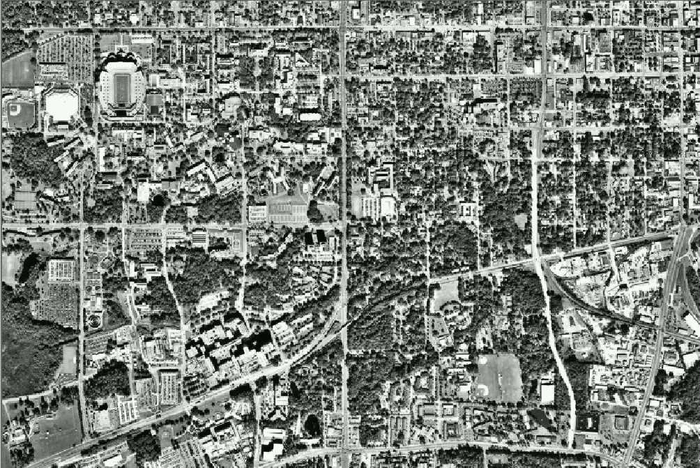
geographic extent - the University of Florida campus and central Gainesville shown with different resolutions, from lowest to highest resolution: |
| 1. Multispectral Scanner Image (MSS) - 60 meter resolution |
| 2. Thematic Mapper Image (TM) - 30 meter resolution |
| |
| 3. SPOT Image - 10 meter resolution |
| |
| 4. Indian Remote Sensing Satellite Image (IRS) - 5 meter resolution |
| |
| 5. Scanned Aerial Photo - 2 meter resolution |
| |
|
|